Ostrava Studio for Urban Planning and Architecture (MAPPA) is the city’s main office for urbanism, architecture, and city-making. It is involved in numerous development projects that play a key role in shaping the quality of life in Ostrava.
MAPPA (Ostrava Studio for Urban Planning and Architecture) is a city-funded organization of the City of Ostrava. We plan where new urban areas are to be developed, shape the design of public spaces, enhance the city’s connection to the surrounding landscape, and create conditions for sustainable urban mobility. We work with the city, city districts, developers, independent experts, and active citizens. Our goal is to make Ostrava a vibrant, livable, and sustainable city – a place where people feel at home.
What we do
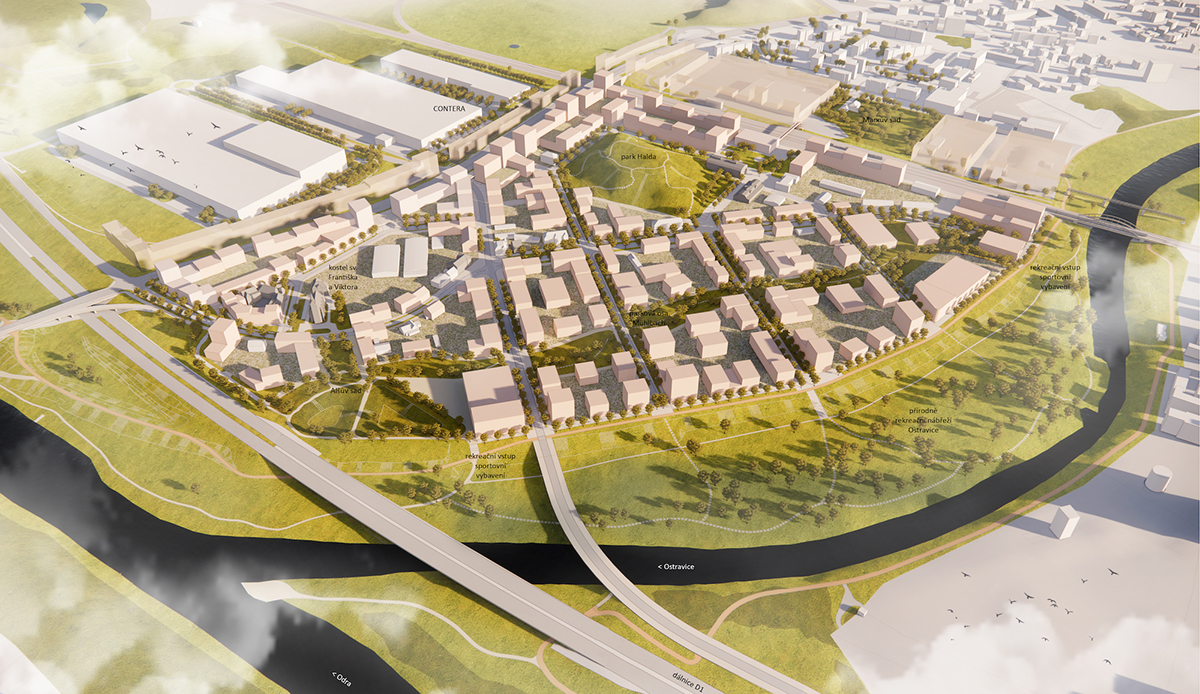
Planning Land-Use Development
We scout areas in Ostrava suitable for transformation. Some places are better suited for recreation, while others are ideal for construction. Collaborating with the city, its districts, and residents, we draw up development plans that maximize benefits for the city. The outcome often includes spatial planning studies or regulatory conditions specifying rules for builders—whether the city authorities or private investors.
Organizing Architectural Competitions
We organize architectural, urban, and landscape competitions to enhance the quality of the urban environment. Although it's a demanding and costly process, it ultimately saves the city money and yields superior designs for public spaces and buildings. To ensure excellent results, we meticulously prepare competition briefs and nominate experienced professionals for competition juries.
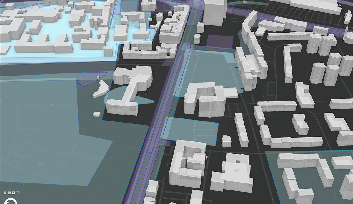
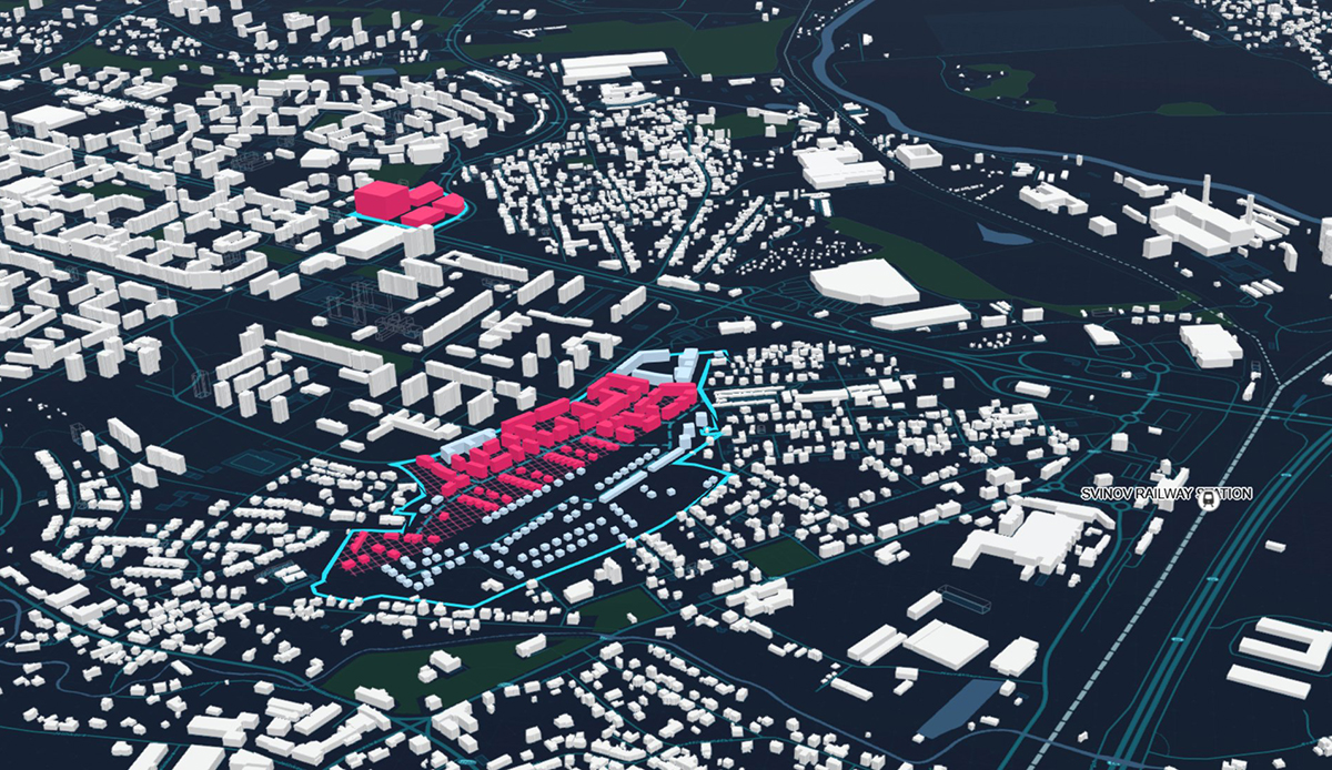
Working With Spatial Data
In planning Ostrava's development, we rely on various information, especially that related to specific locations—spatial data. We acquire data from different institutions, but also conduct our own field surveys. It starts with an Excel table and ends with a map, 3D model, or interactive application. The data we process and analyze gives direction to our work and is provided to the city and other interested parties. Where possible, we also make this data available publicly.
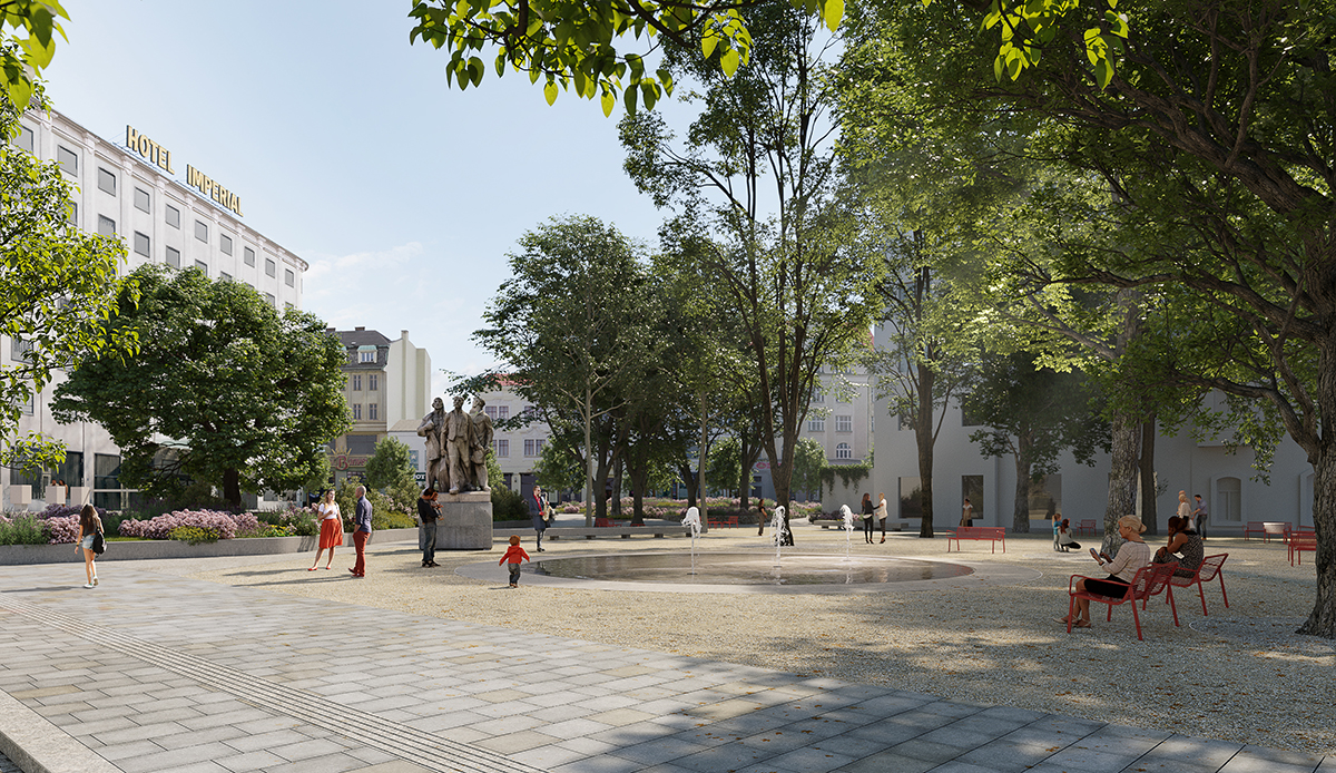
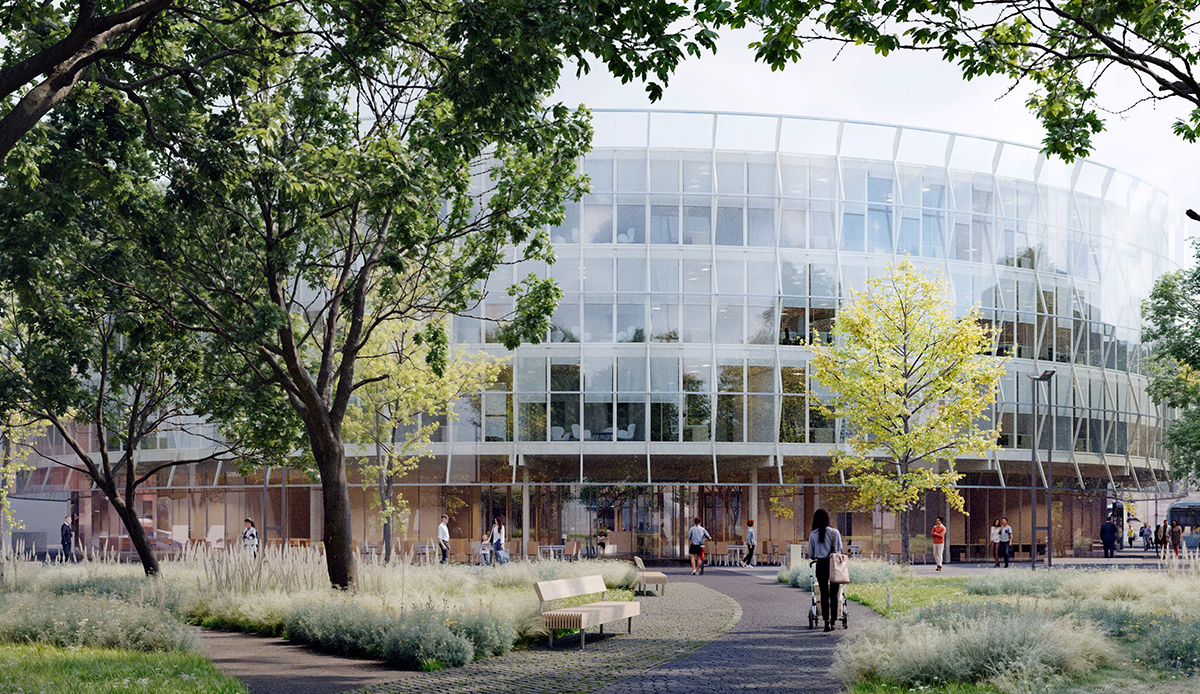
Enhancing Public Spaces
Streets, squares, and parks constitute public spaces where people interact and spend time. For a shared space to be inviting and pleasant to walk through, it should be well-organized and aesthetically pleasing. We gradually set quality standards for specific locations in Ostrava, suggesting suitable surface types, urban furniture, or the placement of greenery. Our aim is to create urban spaces that are not only beautiful and stimulating but also safe and accommodating for the needs of all residents.
Creating Plans
For Ostrava to prosper and grow healthily, it needs thorough planning for its development. At MAPPA, we create detailed planning documents that complement the city's strategic plan. These serve as tools aiding the city and its districts with decision-making regarding specific projects and locations. We develop plans for the entire city (such as the Ostrava cycling transportation plan, Ostrava Green Infrastructure plan) and individual areas (the Plan for 28th října – Opavská boulevard).
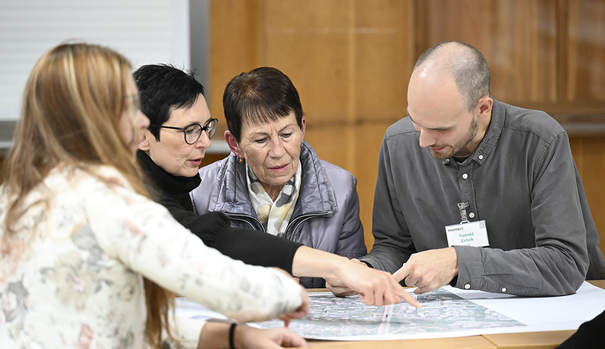
Involving the public
We keep the public up to date on Ostrava’s development projects and invite them to take part in shaping the city. Our exhibition space Beyond the Window in the city center is open for exhibitions, debates, and project presentations. We also run educational activities for children, helping them understand how a city works. To stay close to residents, we bring discussions right to the places that are changing. We host participatory meetings, outdoor exhibitions, and join in public events and festivals. We make urbanism and architecture more accessible through a podcast and video series.
Galerie


Download file
Contact
Ostrava Studio for Urban Planning and Architecture (MAPPA)
Nádražní 17, Ostrava – Czech Republic
info@mappaostrava.cz
Databox: rnf8yu6
Identification number: CZ08230404